Winds pick up in California, threatening to stoke LA wildfires anew
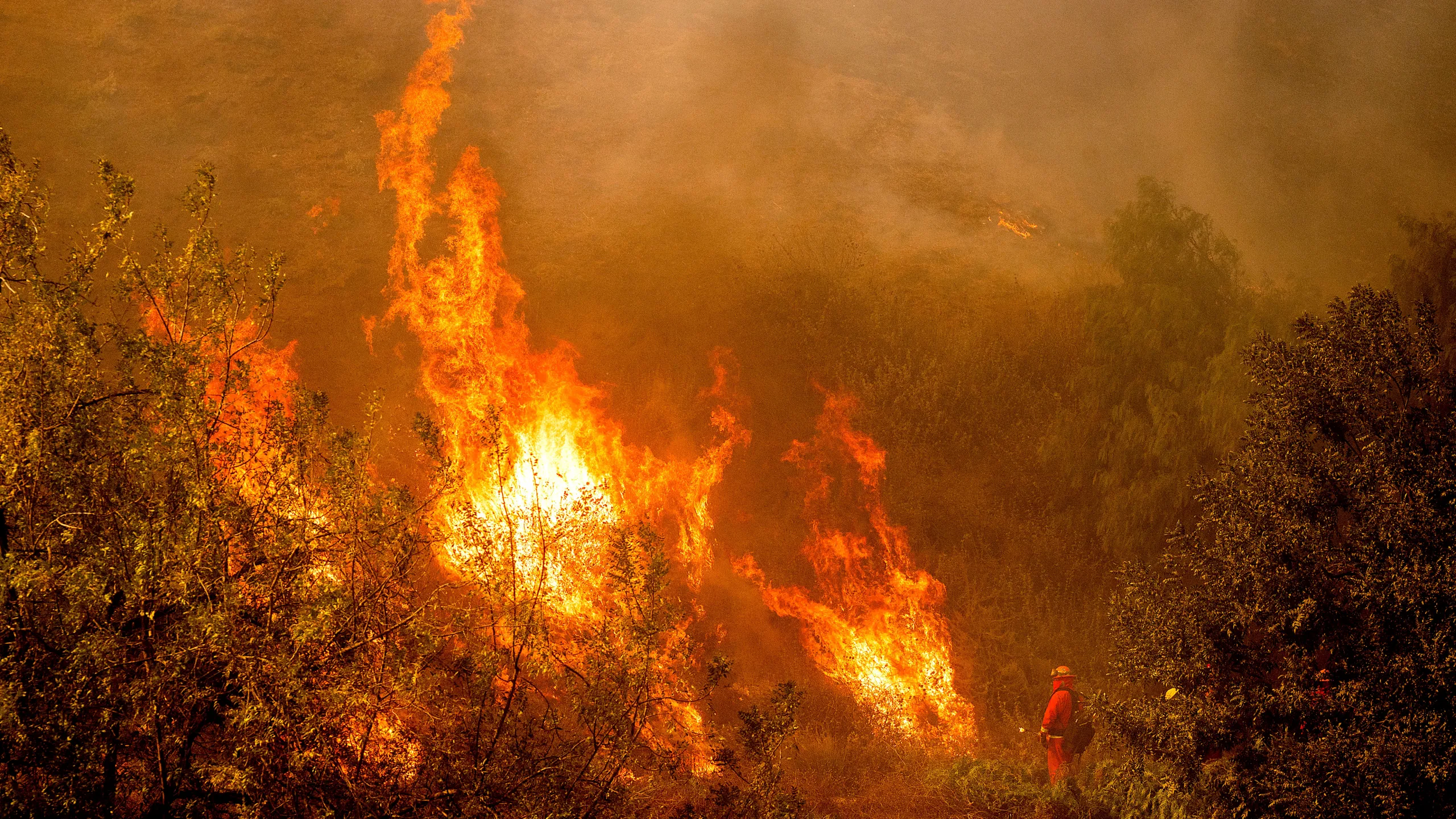
LOS ANGELES – Los Angeles firefighters braced on Tuesday for intense winds that could fuel two monstrous wildfires that have already killed two dozen people, levelled entire neighbourhoods, and scorched an area the size of Washington, D.C.
Hurricane-force winds of 75 mph (120 kph) were possible from early Tuesday, with 50-70 mph gusts expected through Wednesday, said David Roth, a meteorologist with the National Weather Service’s Weather Prediction Center.
A red flag warning was in effect late on Monday as dry, dangerous Santa Ana winds picked up speed.
More than 8,500 firefighters attacked the fires from the air and on the ground, preventing conflagrations at either end of Los Angeles from spreading overnight.
“This setup is about as bad as it gets,” Los Angeles City Fire Chief Kristin Crowley told local residents. “We are not in the clear.”
State authorities were pre-positioning firefighting crews in Los Angeles and other Southern California counties that were under elevated fire danger, officials said.
Highlighting the risks, a small but fast-moving new fire erupted in scrubland in the bed of the Santa Clara River in Ventura County, northwest of Los Angeles. Ground crew and several helicopters were working to contain the so-called Auto Fire, which had razed over 56 acres and was burning near a golf course but not yet threatening homes.
The two biggest wildfires, the Palisades and Eaton, erupted last week, fuelled by intense winds.
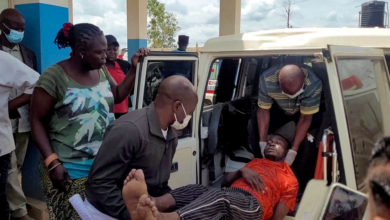
At least 24 people have died in the blazes since then, according to the Los Angeles County Medical Examiner.
The wildfires have destroyed or damaged more than 12,000 structures, turning entire neighbourhoods into smouldering ash and piles of rubble and leaving an apocalyptic landscape.
As of Monday, more than 92,000 people in Los Angeles County were under evacuation orders—down from more than 150,000—while a further 89,000 faced evacuation warnings.